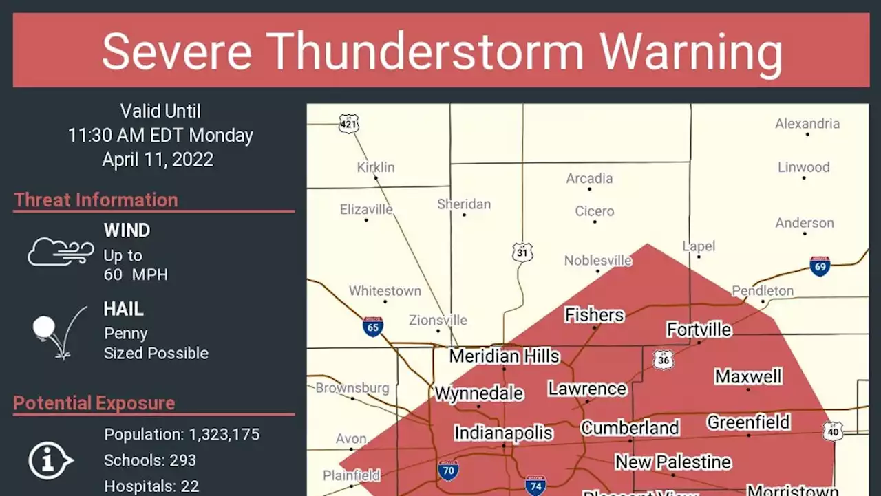
A thunderstorm rolling over Indiana today could impact portions of Hancock, Hendricks, Marion and Hamilton counties.
The National Weather Service issued a severe thunderstorm warning minutes before 11 a.m. noting the Doppler radar was tracking a strong storm over Plainfield roughly 11 miles southwest of Indianapolis. The storm is moving northeast at 40 mph.
Wind gusts up to 50 mph and pea size hail threaten the area. A 49 mph wind gust occurred at Indianapolis airport, the National Weather Service said. The National Weather Service said earlier in the morning that Central Indiana would see multiple rounds of thunderstorms Monday. "Lightning is the main threat but small hail, brief gusty winds, and isolated heavy rain are all possible," a tweet from NWS predicted.