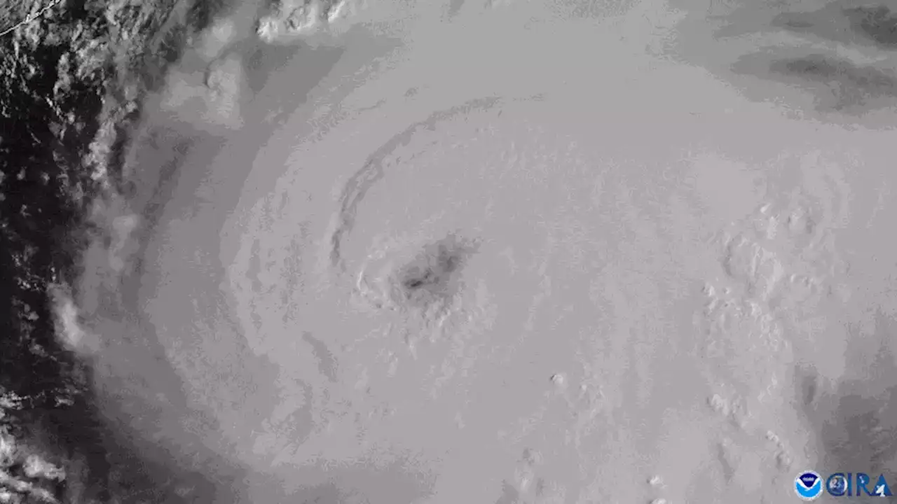
Today marks the start of hurricane season. Hurricane forecasters are debuting a new model they hope will better predict when some storms will suddenly and explosively intensify
Virginia Key sits on Florida’s doorstep, just southeast of downtown Miami, and is firmly in the strike zone of Hurricane Alley—a swath of warm water that is perfect for hurricane formation and stretches eastward across the Atlantic to Africa. More than 250 hurricanes have hit the U.S. mainland since the mid-19th century, often with catastrophic results.
The answer isn’t always clear, which makes rapid intensification exceedingly difficult to predict. Accurately predicting a hurricane’s intensity is particularly important, however, because storm force multiplies exponentially with wind speed. When wind speed doubles, the force exerted on homes, power lines and other infrastructure quadruples. And studies suggest that more storms will undergo rapid intensification—and do so at faster rates—as the climate warms.
One of the most sobering cases of rapid storm intensification was Hurricane Charley in 2004. Warnings went up along Florida’s southwestern coast well in advance of the storm. For about 24 hours before Charley hit, it was forecast to strengthen from a Category 2 to a Category 3 storm. But in just five hours on August 13—and less than six hours before landfall—the storm’s winds shot up by 34 mph.
A storm’s internal physics are also crucial to the process. For example, if the thunderstorms around its center are very symmetric, the pressure “drops like a rock,” Marks says—and the lower the center’s pressure, the higher the winds swirling around it. Corbosiero, who is not involved in the HAFS work, explains that such symmetry keeps the heat released by developing clouds trapped in the eye wall of the storm. This, in turn, fuels more convection.
Argentina Últimas Noticias, Argentina Titulares
Similar News:También puedes leer noticias similares a ésta que hemos recopilado de otras fuentes de noticias.
 Forecasters working to reduce unnecessary hurricane evacuationsAtlantic hurricane season begins Thursday with more people than ever living in hurricane-prone Florida.
Leer más »
 Flagler County Emergency Management rolling out new safety measures ahead of hurricane seasonFlagler County Emergency Management is rolling out new measures to help keep residents safe. It was announced during a meeting with multiple media outlets.
Leer más »
 New evacuation maps in place for coastal Southeast Georgia🌀 Camden and Glynn counties in Southeast Georgia have modified their evacuation maps ahead of the 2023 Hurricane Season.
Leer más »
 New Jersey Has a New State Sandwich—and It's Inspired By Taylor SwiftNew Jersey Governor Phil Murphy issued a decree when the superstar's Eras Tour recently brought her to the Garden State.
Leer más »
 Three new head coaches hired at New BrocktonAthletically, New Brockton could be a sleeping giant.
Leer más »
